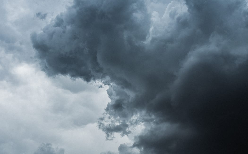
(file image). Photo: Unsplash / Daoudi Aissa
Heavy rain from a complex low pressure system has starting hitting Auckland as it makes it way down the North Island.
Known as a "Tasman Sea Special", MetService meteorologist Dom Barry said there were heavy rain and thunderstorm watches in place for Northland, Auckland, including Great Barrier Island and the Coromandel.
MetService warned there was also a moderate risk of severe thunderstorms for those areas, especially for coastal places, with localised downpours of up to 40mm per hour.
There was a small chance of a small coastal tornado overnight, it said.
Strong easterly winds would be felt across Northland and Tāmaki Makaurau while this system passes on Monday, it said.
Meanwhile, there was a orange heavy rain warning for the Hawke's Bay for 36 hours from 6am on Tuesday, with up to 160mm of rain expected.
The biggest accumulation was likely going to be south of State Highway 5, said MetService.
It was also forecasting peak rates of up to 25mm per hour for Tuesday morning and afternoon. Further rain was also expected through Thursday and Friday and MetService said the rain warning could be extended.
There were also heavy rain watches for the Bay of Plenty west of Kawerau, Rotorua, Tairawhiti/Gisborne, the Tararua District and Wairarapa.
There were separate thunderstorm watches for the Bay of Plenty and Rotorua, also with a small possibility for a small coastal tornado from 2am on Tuesday.
"As the low moves southeastwards across the Motu, we can expect areas such as Marlborough and Northern Canterbury to encounter some wet weather from Tuesday, with the rain mainly remaining in the eastern Te Ika-a-Māui/North Island," Barry said.